Tesla builds its own maps to fix FSD navigation flaws
Tesla is developing a proprietary mapping system to correct speed limit and parking errors, marking a shift from its previous camera-only strategy.
By Lina Lewis ·
In 55% of the 30 km/h zones tested in Brussels, Tesla’s Full Self-Driving system exceeded the speed limit. The car averaged 44 km/h in these areas. This statistic highlights a persistent issue with the vehicle’s ability to read simple road signs. It is a problem that has frustrated drivers and safety groups alike.
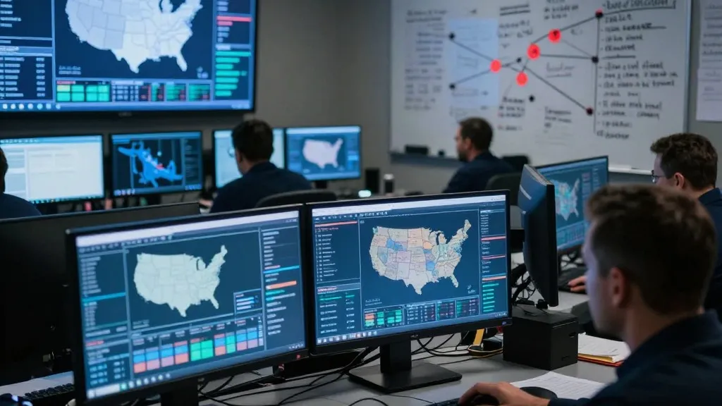
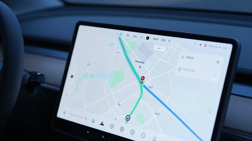
To address these gaps, Tesla is now building its own map layer. The company’s VP of AI, Ashok Elluswamy, confirmed this strategy during the Q3 2026 earnings call. He stated that the system should not depend on external providers. The new architecture will use data from Tesla’s fleet to learn routes and driver preferences. It will also handle voice commands. The technology is set to launch with FSD v15, focusing first on the start and end of trips. Over the coming months, it will take over navigation and parking functions.
This move represents a significant change in tone for the company. For years, CEO Elon Musk argued that relying on high-precision maps made self-driving systems brittle. In 2019, he called such maps a huge mistake. He dismissed lidar as a fool's errand. The goal was to solve driving with cameras and AI alone. Now, seven years later, Tesla is using its fleet to create a map layer that corrects what its vision system misses. This includes speed limits and typical routes.
The need for better environmental understanding is clear. Last month, a Belgian road safety group found that FSD often misread speed limits. In the United States, the NHTSA is weighing an investigation into claims that Tesla Robotaxis speed through active school zones. This review covers about 1,000 Model Y and Cybercab vehicles. These incidents suggest that an end-to-end vision system is not yet reliable enough for all road conditions without additional data support.
The new approach brings Tesla closer to its rivals. Waymo uses sensor-equipped vehicles to map cities before launching service. Tesla is now describing a similar process where its cars collect data to feed a central map. The main difference remains that Waymo’s vehicles are equipped with lidar. Tesla’s strategy also aligns with its current Robotaxi operations, which run in small geofenced areas. While Tesla is not using centimeter-level HD maps today, the fleet-built system could evolve in that direction.
This development adds context to the timeline for unsupervised FSD. The company has pushed the launch for consumer cars to Q2 2027. It is currently limited to the Robotaxi fleet. Critics point out that Tesla is now using methods it once dismissed. The company is operating in geofenced areas using maps. This is the same approach Musk previously argued was not a true self-driving system. As the fleet grows, the map will become more detailed. For now, Tesla is fixing the basics before aiming for broader deployment.
The shift suggests a pragmatic turn in the self-driving race. Every major player uses maps to some extent. Tesla’s advantage lies in the size of its fleet. If this new system resolves common errors like misreading speed signs, it will benefit all road users. The company has spent a decade developing its technology. It is now integrating the tools it once said it did not need.