
Super El Niño to Drive Record Winter Rain in South Florida
NOAA forecasts above-average precipitation and heightened tornado risks as the historic weather pattern persists through the cold months.
By Kwame Silva ·
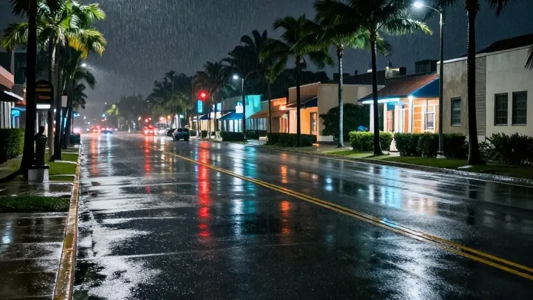
National Weather Service meteorologist Robert Moyeda confirmed that a record-breaking El Niño event will persist through the winter, bringing above-normal rainfall to South Florida. This development occurs as the Atlantic hurricane season concludes with an unusually quiet ocean. Although November traditionally marks the start of the regional dry season, the continued strength of the El Niño pattern is expected to override typical seasonal trends.
Moyeda stated that Pacific Ocean water temperatures will remain much warmer than normal throughout the winter. He described the current phenomenon as a "Super El Niño," noting it has the potential to be the strongest measured since 1950. The pattern has already broken records before reaching its expected peak. This early intensity sets the stage for a winter that differs sharply from historical averages in the region.
Recent weather events in Florida previewed the conditions residents can expect. Sunrise experienced massive flooding at Sawgrass Mills and Amerant Bank Arena on Monday and Tuesday. In Brevard County, record-setting rainfall triggered what experts identified as a 1,000-year flood. These incidents illustrate the powerful impact the current atmospheric conditions are already having on local infrastructure and communities.
The National Oceanic and Atmospheric Administration’s U.S. winter outlook predicts that Florida temperatures will remain near normal levels. However, precipitation chances are forecast to be above average. Moyeda warned that the increased rainfall will coincide with a higher likelihood of severe weather events across the state. This includes a greater frequency of tornadoes on the Florida peninsula.
Moyeda emphasized that tornadoes can be very damaging, urging residents to understand the risks associated with the strong El Niño. He noted that climate change may also play a role in these impacts. The combination of a very strong El Niño and potential climate influences creates a volatile weather environment for the coming months.
The El Niño pattern involves sea surface temperatures in a specific part of the Pacific Ocean heating up higher than usual. Scientists have long recognized this phenomenon as a primary driver of global weather patterns. During El Niño years, Florida winters typically become wetter and warmer. The current event is expected to amplify these effects due to its exceptional strength.
Residents in South Florida should prepare for a wetter and more tornado-prone winter. The forecast indicates a shift from the quiet hurricane season to an active winter weather pattern. Officials and meteorologists are monitoring the situation closely as the season progresses.