
Extreme El Nino drives record rains across Southwest
Meteorologists report that a historically strong warming cycle has delivered over 20 trillion gallons of water to the region in two weeks, prompting widespread evacuations and flooding.
By Lina Lewis ·
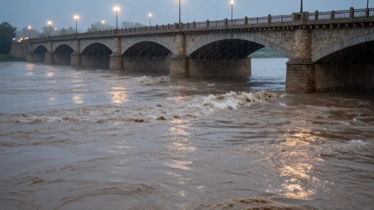
A powerful El Nino event is currently delivering some of the heaviest rainfall in recent history to the American Southwest, prompting evacuations and major infrastructure concerns. The warming of Pacific Ocean waters is injecting massive amounts of moisture into the atmosphere, fueling storms that experts describe as historically extreme.
Meteorologist Jeff Masters of Yale Climate Connections characterized the current situation with blunt language. "We’ve had super El Niños in the past, but this is a super duper El Niño," Masters said. While El Nino cycles occur irregularly every few years, scientists note that the current iteration stands out for its intensity and impact on regional weather patterns.
The immediate effects have been severe. Flash floods on Sunday forced residents in northern New Mexico and central Arizona to evacuate their homes. In Colorado, residents in ski towns prepared for the main river to rise to dangerous, potentially catastrophic levels. This followed a wet storm system last week that subjected the southwestern states to days of persistent flooding.
The volume of water is staggering. Calculations by former National Oceanic and Atmospheric Administration chief scientist Ryan Maue indicate that more than 20 trillion gallons of water have fallen on the Four Corners states and Nevada over the past two weeks. This precipitation far exceeds typical seasonal averages for the region.
Climate scientist Daniel Swain of the University of California Agriculture and Natural Resources explained the mechanics behind the downpour. "The likelihood of big precipitation in the Southwest interior does go up this time of year, but we’re seeing it to a degree we actually haven’t seen before," Swain said. He noted that the extreme El Nino is shifting atmospheric winds toward the Southwest, creating ideal conditions for intense storms.
Long-term warming from human-caused climate change is compounding the issue. Meteorologist Randy Cerveny of Arizona State University pointed out that ocean temperatures are already higher than they were a century ago. "The fact that the ocean temperatures are already warmer than they were, say, 100 years ago, makes these El Niño situations even more intense," Cerveny said. This baseline warmth means the El Nino adds even more heat and moisture to the system.
The phenomenon is affecting other parts of the world, with record-breaking flooding reported in Peru and Ecuador. The El Nino event is expected to peak in December. Experts warn that the heavy weather could continue for months after that peak. Cerveny noted that the Pacific Ocean has not yet reached its maximum heating phase, meaning further severe weather events are likely.